

GeoPortale
WebGIS and CMS
GeoPortale
WebGIS and CMS
Citizens and Public Administration are called toghether to cooperate and to share their resources, skills and potentials. It’s one of the basic principles of our constitution.
Getting together and respecting each other are the foundations for developing new networks and making them available to everyone.
But how can we do this?
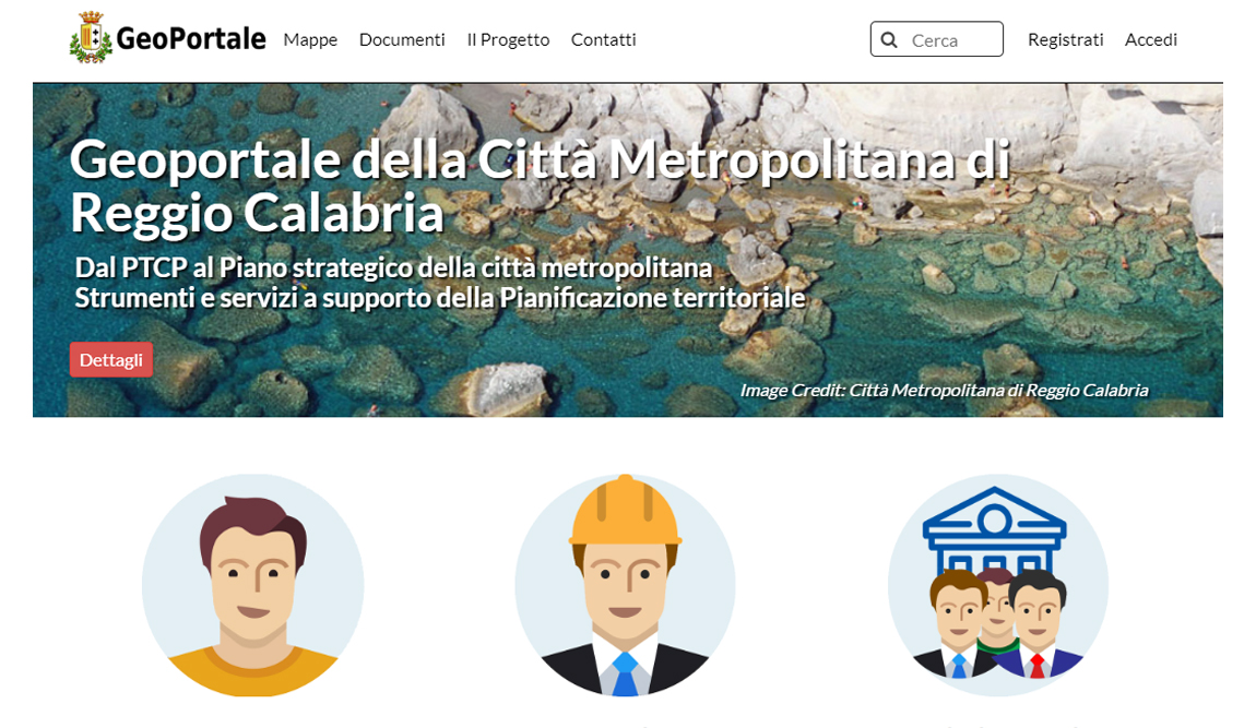
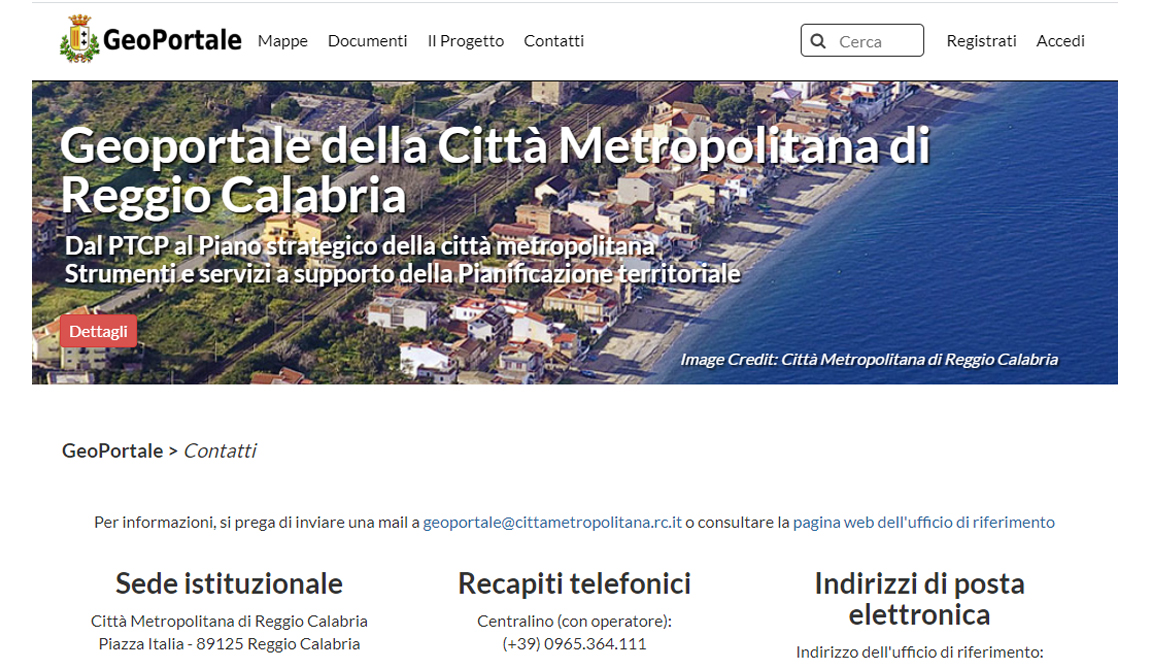
The GeoPortale project is a good and strong answer to this question. A communication and exchange interface for citizens, technicians and local administrations.
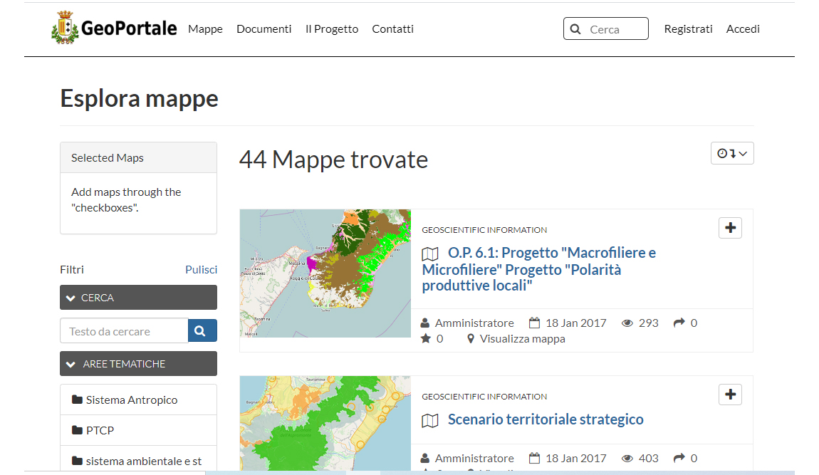
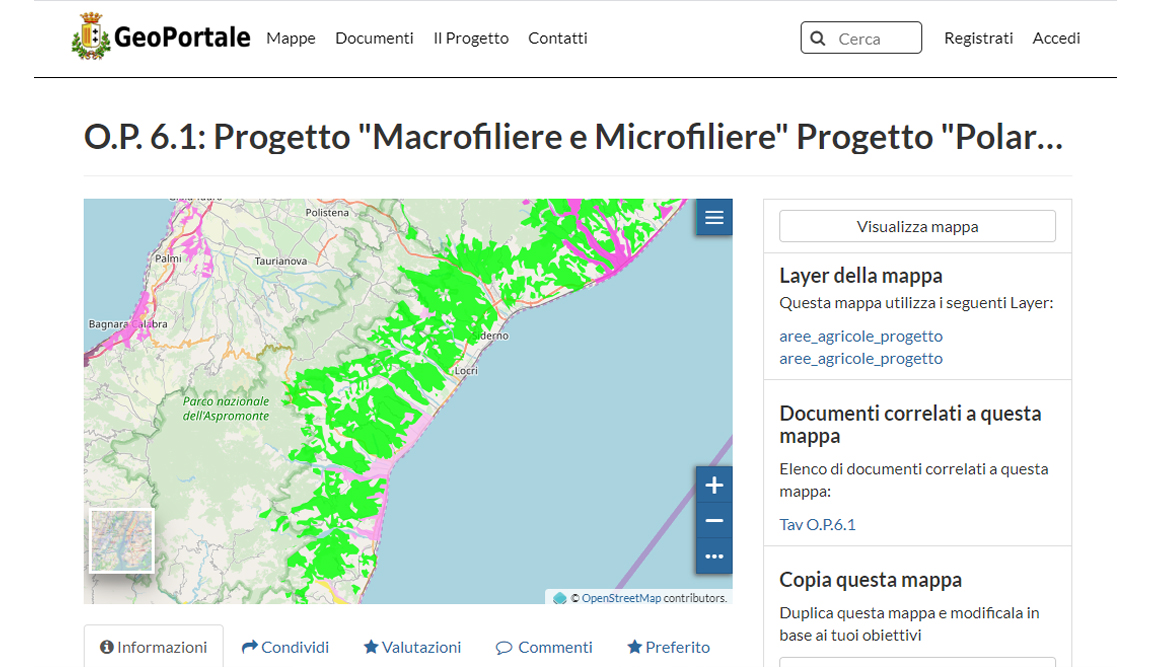
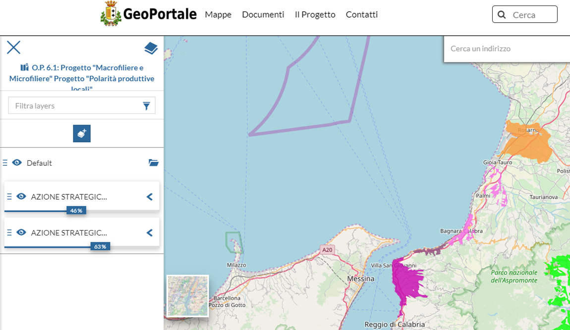
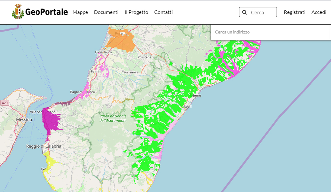
GeoPortale is an easy and intuitive platform for anybody who wants to create and share geographic maps showing geospatial data of any kind. The web portal gives you the opportunity to create theme based maps, to share and navigate them thanks to special geospatial tools and to view all the information they hold. Everything is done with a dynamic and sharing oriented approach.
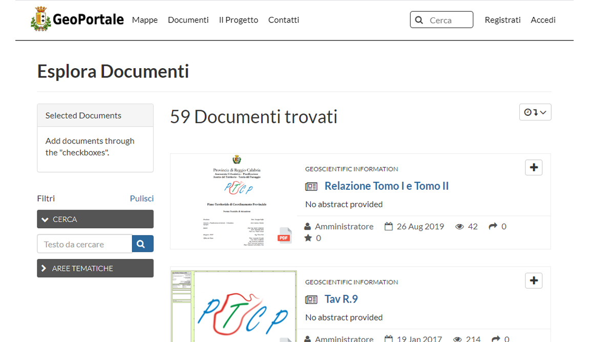
It is a platform where city administrations are able to integrate data regarding their plans and tools, building a valuable resource in terms of knowledge and usage for both citizens and technicians.
Thanks to the “open” nature of the technologies involved, transparency and simplification are the main characteristics of this platform.
The GeoPortale project is a good and strong answer to this question. A communication and exchange interface for citizens, technicians and local administrations.
GeoPortale is an easy and intuitive platform for anybody who wants to create and share geographic maps showing geospatial data of any kind. The web portal gives you the opportunity to create theme based maps, to share and navigate them thanks to special geospatial tools and to view all the information they hold. Everything is done with a dynamic and sharing oriented approach.
It is a platform where city administrations are able to integrate data regarding their plans and tools, building a valuable resource in terms of knowledge and usage for both citizens and technicians.
Thanks to the “open” nature of the technologies involved, transparency and simplification are the main characteristics of this platform.
What they say about us


Eng. Fabio Nicita
Manager of the IT Services of the
Metropolitan City of Reggio Calabria
Giandomenico Gangemi
"Planning, Environment and
Special Laws" Sector
of the Metropolitan City of Reggio Calabria