

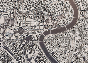
Geographic Information Systems
Customized. Equipped with the latest technologies. Scalable.
Geographic Information Systems
Customized. Equipped with the latest technologies. Scalable.
What is it?
A Geographic Information System, usually known as GIS, is a software system capable of acquiring, analyzing, visualizing and sharing information resulting from geographic data, also known as geo-referenced data.
It’s a system gathering software, data and user made and activated procedures toghether. This is why it’s important to have a “tailored” Geographic Information System perfectly fitting the operating business environment where it’s employed.
…and what is it useful for?
Experience proves that through information systems managing data and procedures, analysis capabilities and services efficiency are largely improved, as well as employee productivity and satisfaction.
Our experience
We have gained a lot of experience in this field by creating customised Geographic Information Systems for large and complex companies, as well as for different types of public administrations (municipalities, cities, regions, districts, remediation consortia).
We have learned to implement customised systems fitting every specific business model.


Providing even more benefits
One of the many additional benefits we can provide through our solutions is the customization of the Geographic Information System based on the business model and the company structure of our customers. As a matter fo fact, integration with new technologies and scalability are fundamental features for success in territories development projects.
Our Geographic Information Systems are therefore usually combined with mobile applications using georeferencing and new AR/VR visualization technologies in order to improve the end product and the user experience.
Our solutions are thought through as scalable, from city planning to logistics, from process management in territorial planning to avionics, from the land register’s services management to 4D analysis of geographical data. We use an architecture based on microservices in order to make horizontal scalability of “orchestration” systems available, for example using technologies like Kubernetes.