spatial analysis

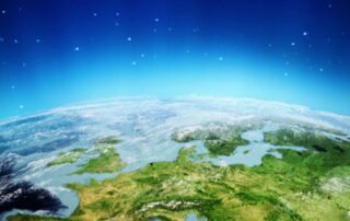
GeoSpatial solutions today: an overview

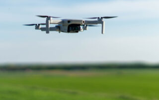
What is meant by geospatial solutions today? And how can they help us? Here is a brief overview of the application fields of geospatial solutions today. Geospatial refers to anything related to the location or position of objects, features, or phenomena on the Earth's surface. In simpler terms, it's all about understanding where things are in the world [...]

GIS and co-registration: an overview

Almost everything that happens, it happens somewhere [1]. GIS analysis can get applied to a great variety of scenarios. However, objects on the terrestrial surface must be located accurately, and location displacements get minimized. Here we explain why co-registration is important, and how it works. GIS and data analysis Since they can process, cloud-store, and make available a [...]

Uso dei droni in applicazioni GIS

Nonostante i limiti fisici e le questioni irrisolte in materia di privacy, i droni – grazie alle loro elevate prestazioni nella raccolta dati - si stanno diffondendo rapidamente in applicazioni di natura diversa, ma con un comune denominatore: il mondo GIS. I droni, anche noti come Aeromobile a Pilotaggio Remoto (APR) [1] o, in inglese, Unmanned Aerial Vehicle (UAV) [...]

GIS: presente e futuro

Verso dove stiamo andando nel mondo del GIS? Quali gli sviluppi che ci si può aspettare? Ma soprattutto, in che modo il GIS rivoluzionerà il mondo del futuro? Una buona analisi di previsione del futuro nel mondo del GIS non può che basarsi su dati concreti, sui passi, cioè, che già sono stati fatti e che contribuiscono a [...]

Torna in cima